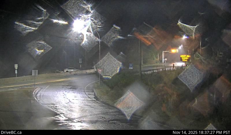
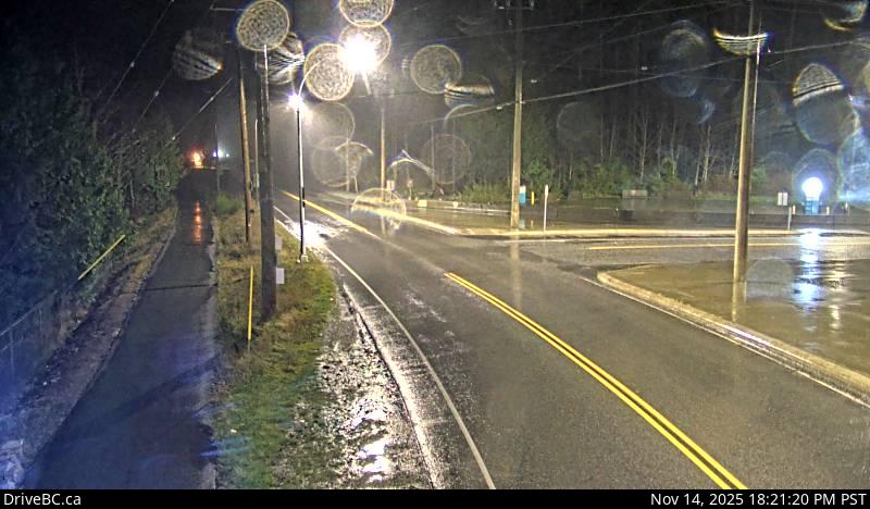
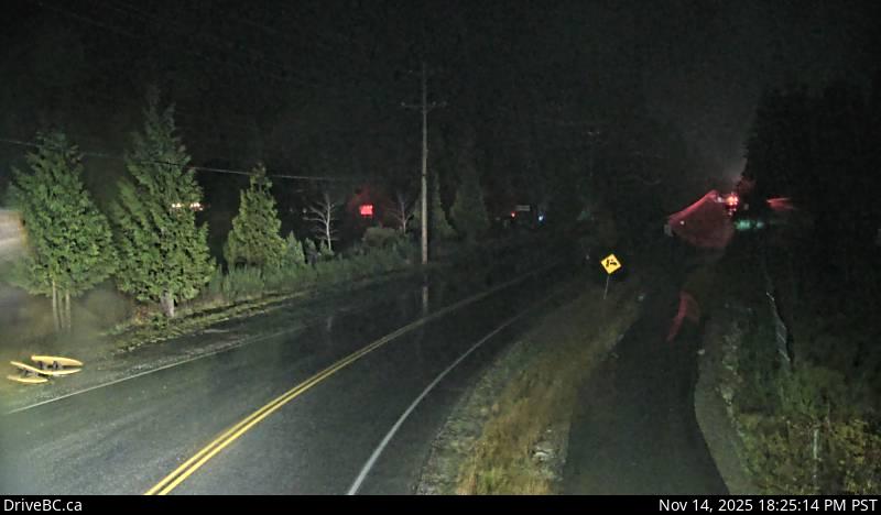
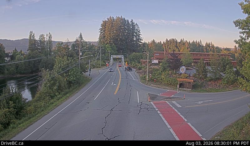
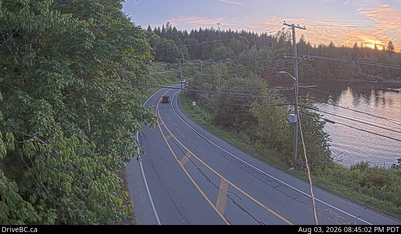
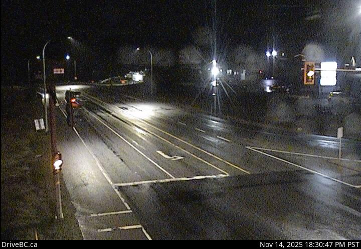
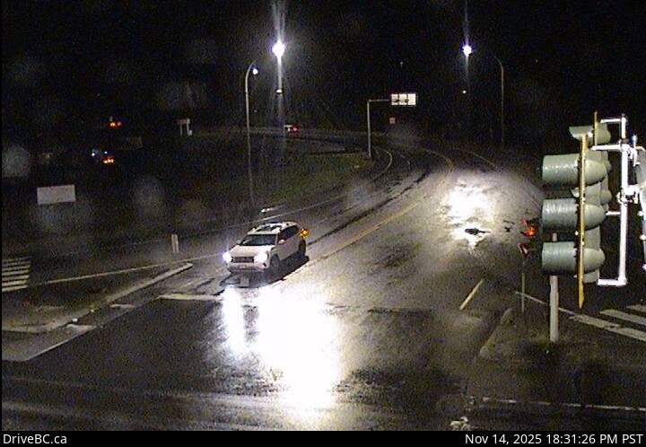
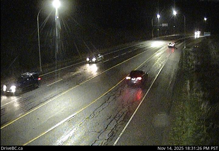
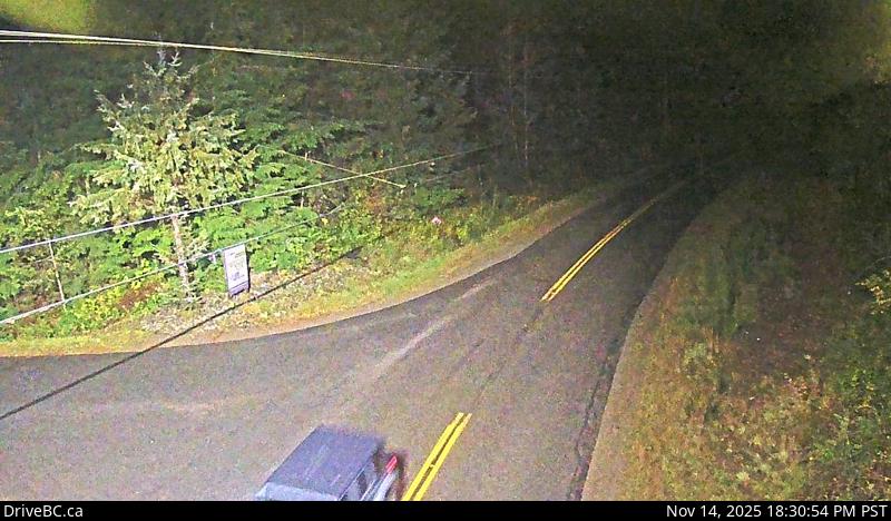
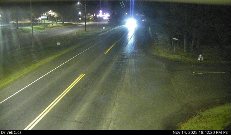
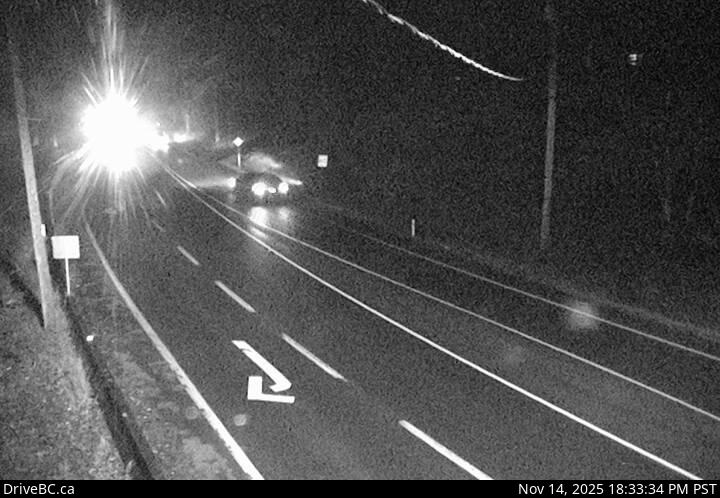
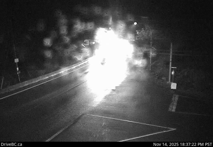
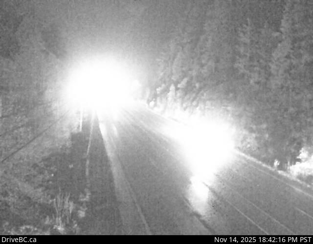
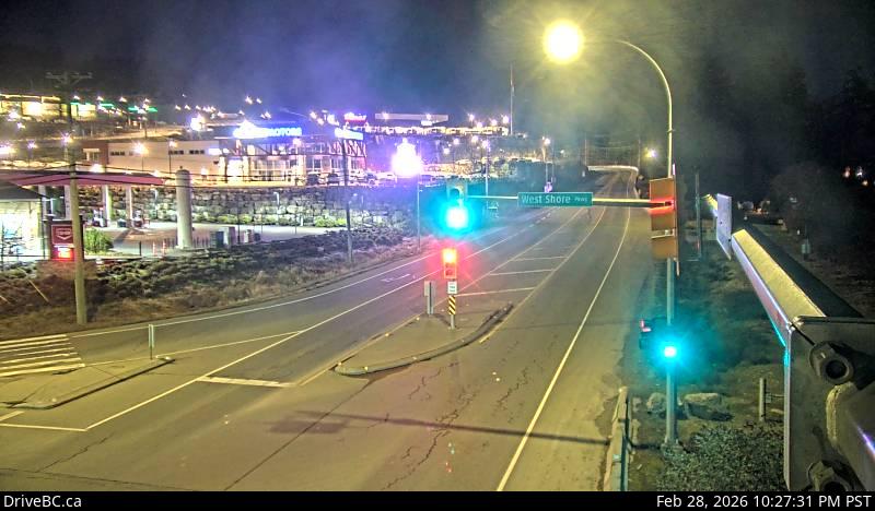
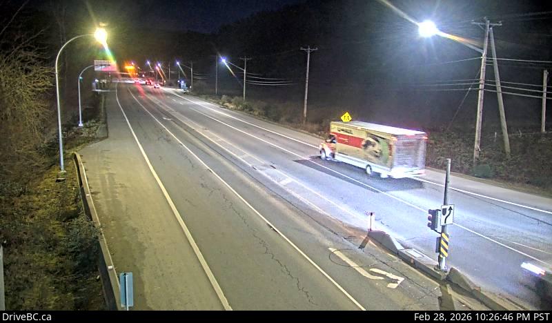
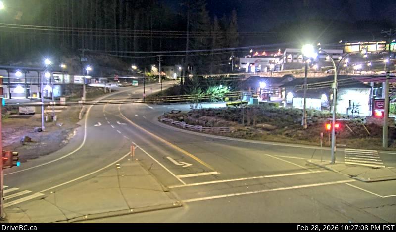
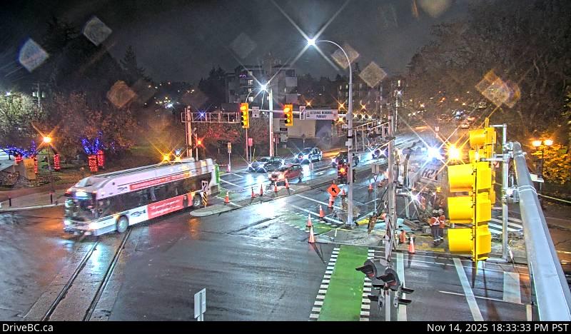
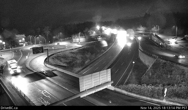
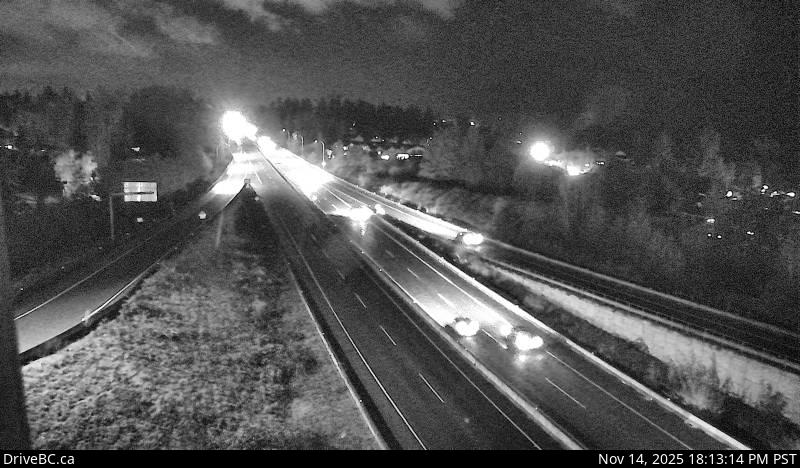
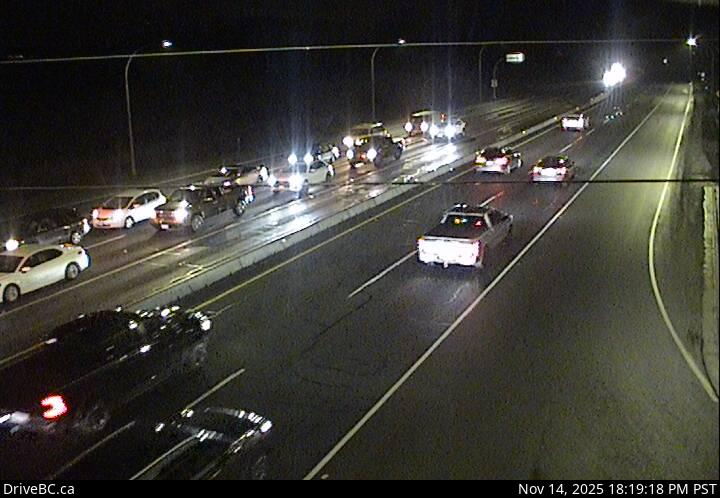
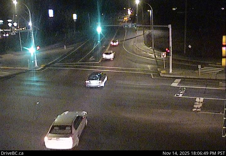
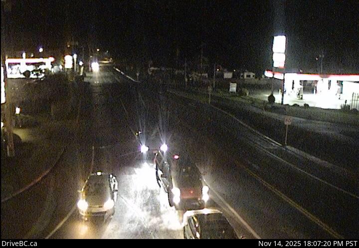
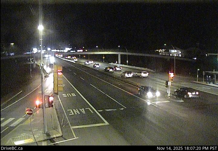
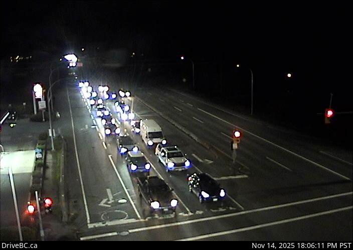
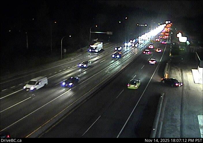
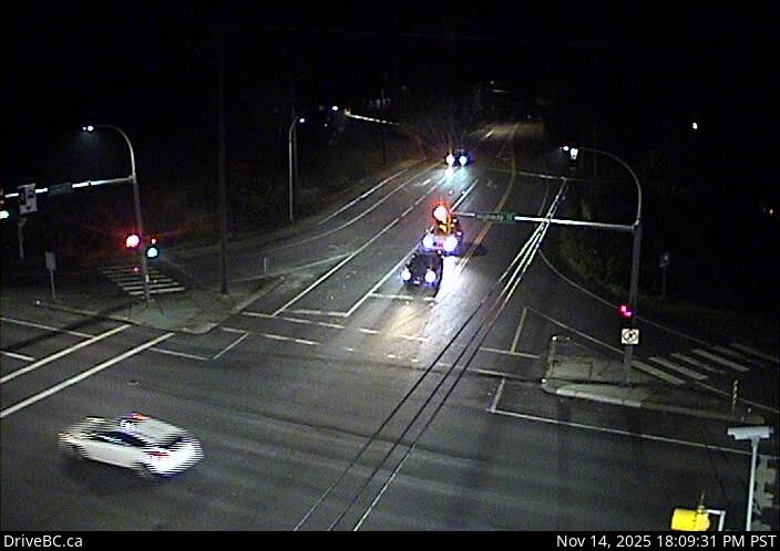
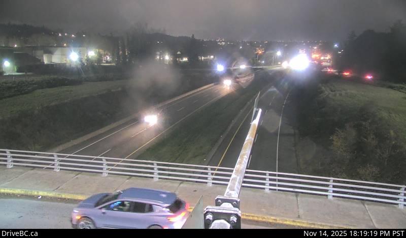
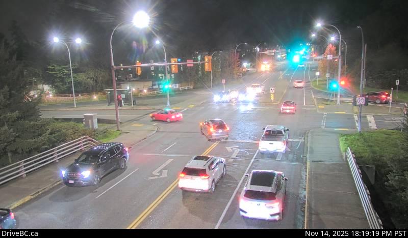
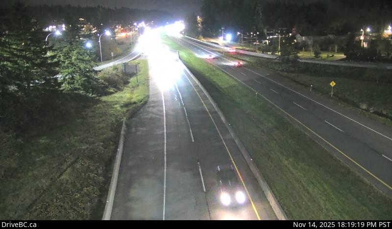
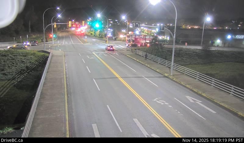
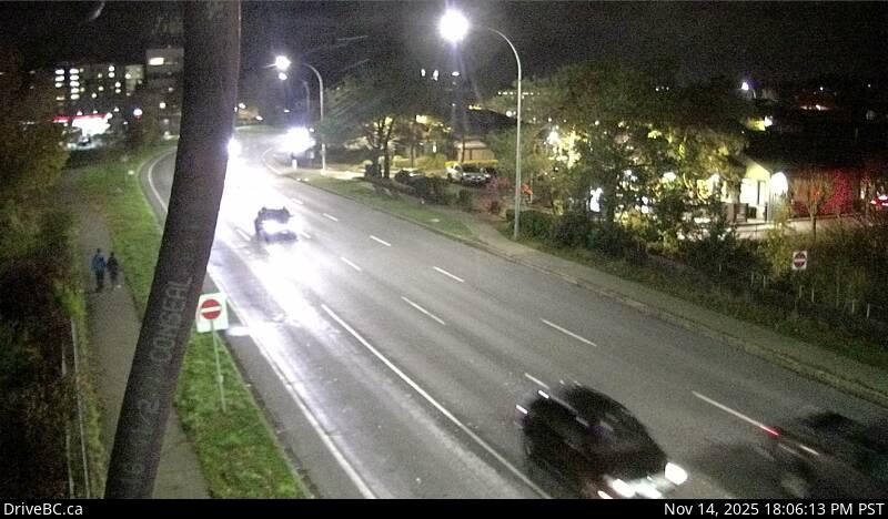
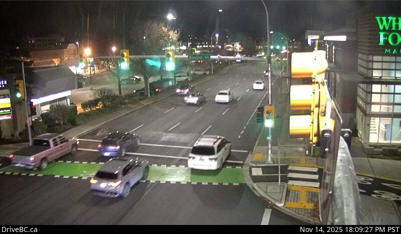
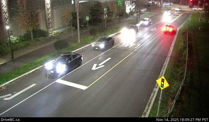
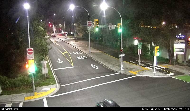
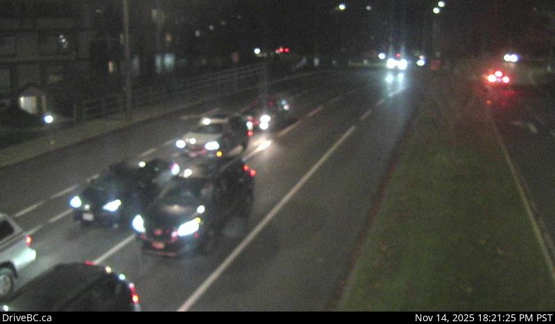
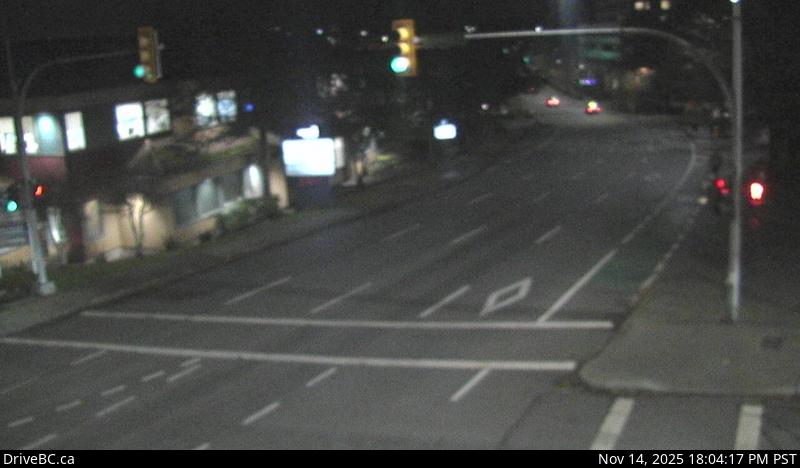
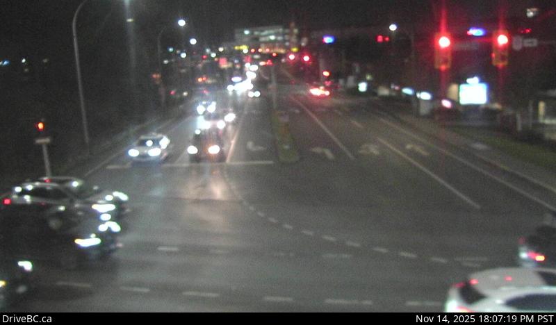
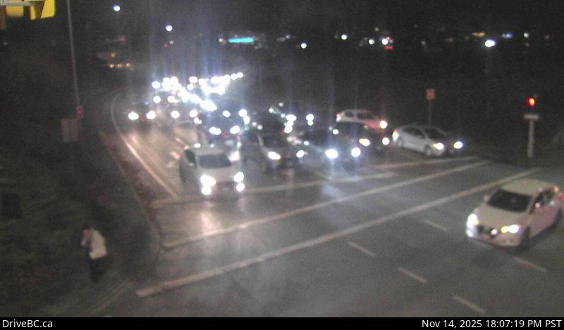
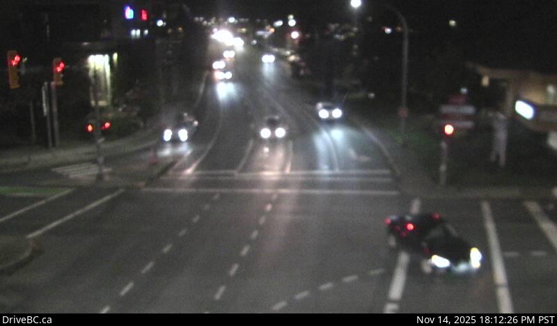
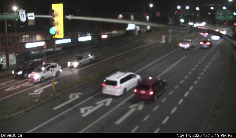
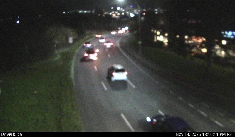
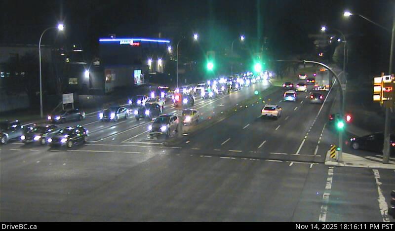
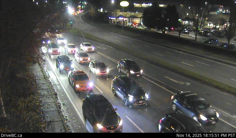
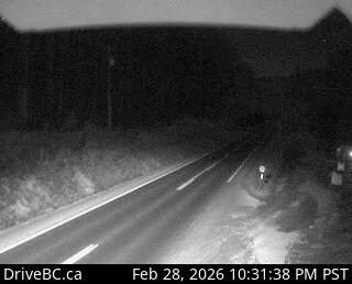
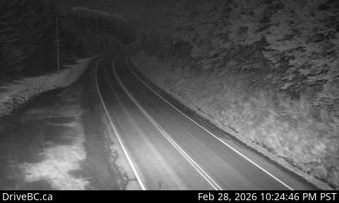
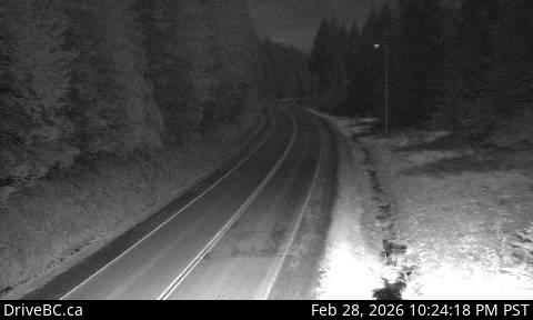
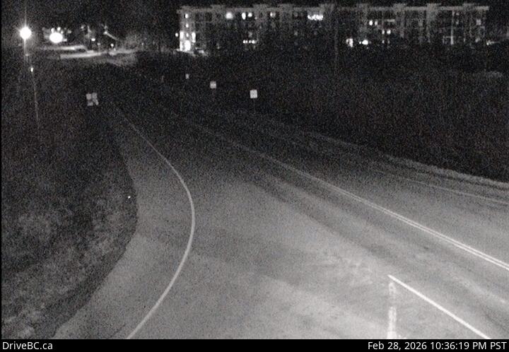
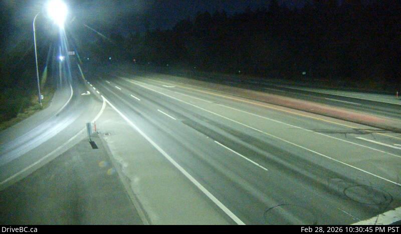
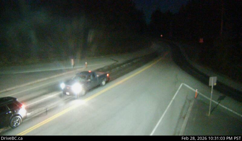
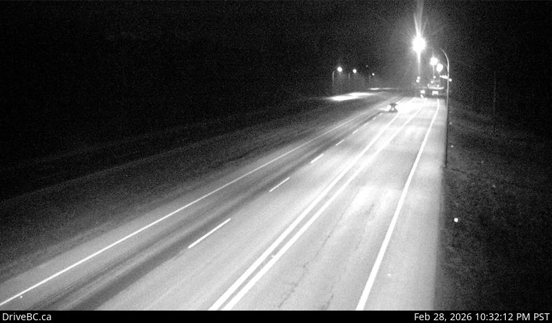
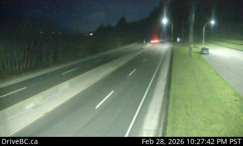
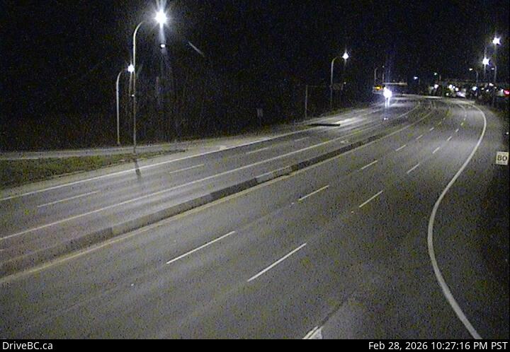
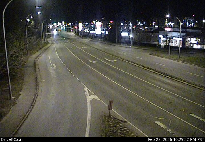
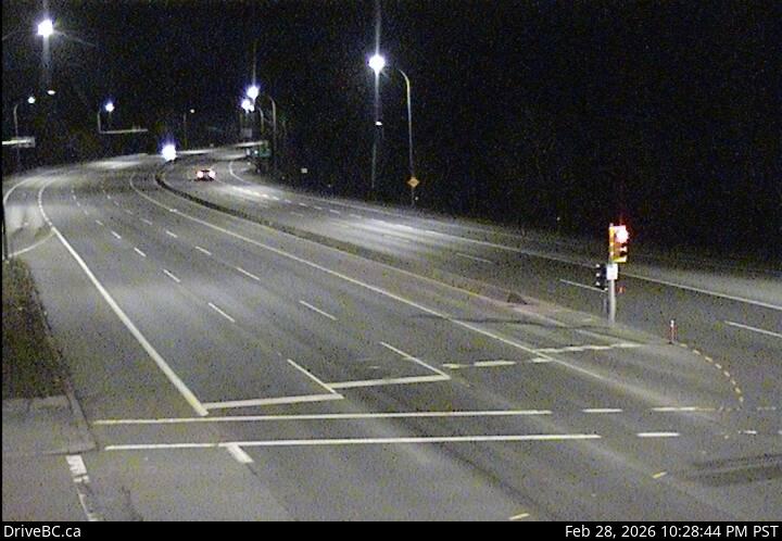
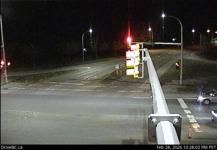
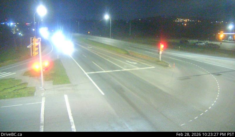
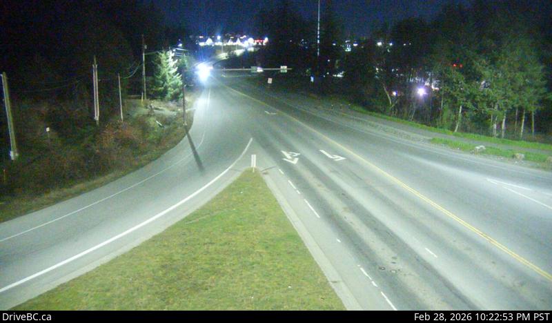
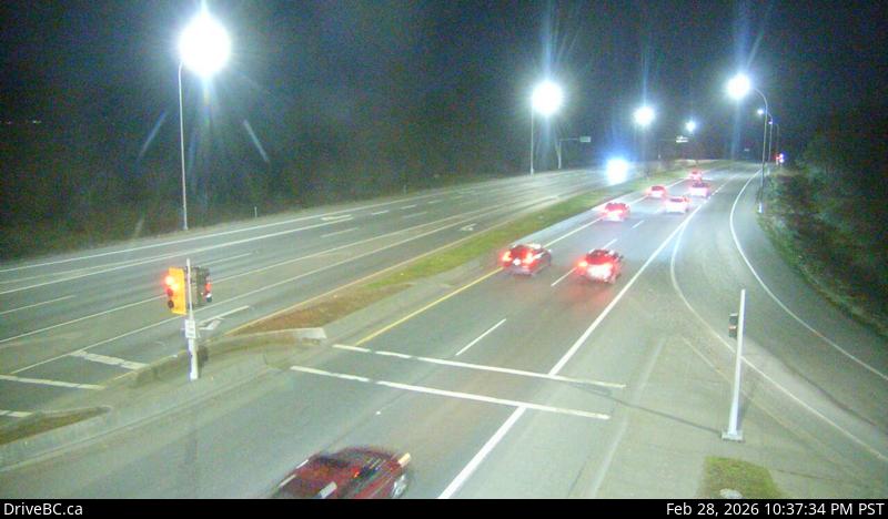
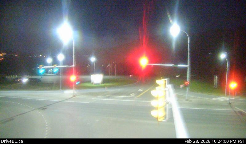
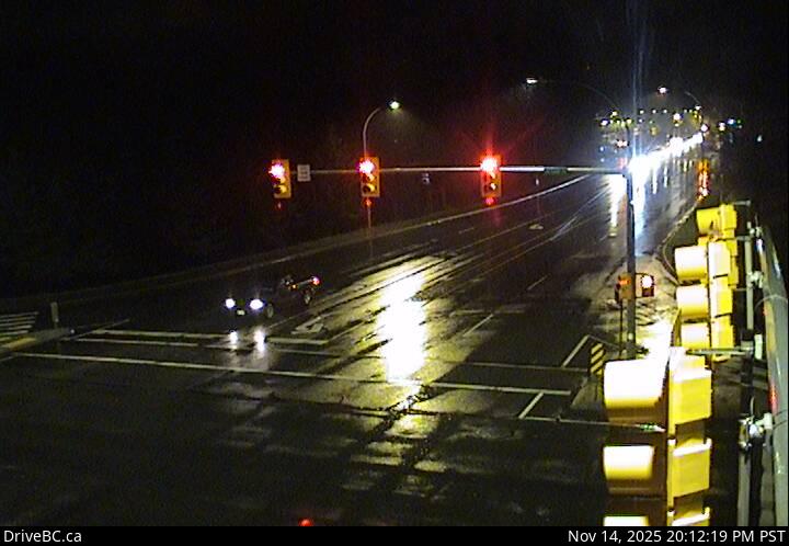
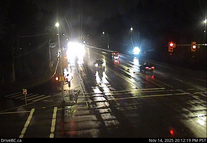
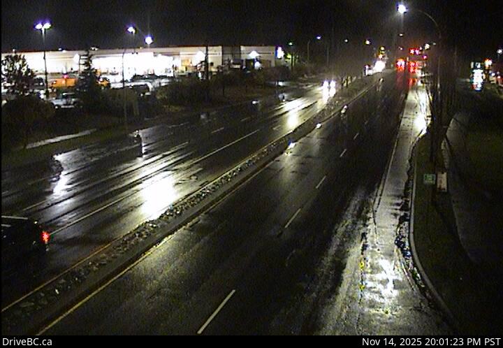
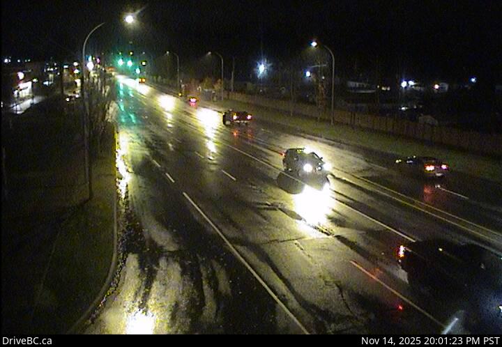
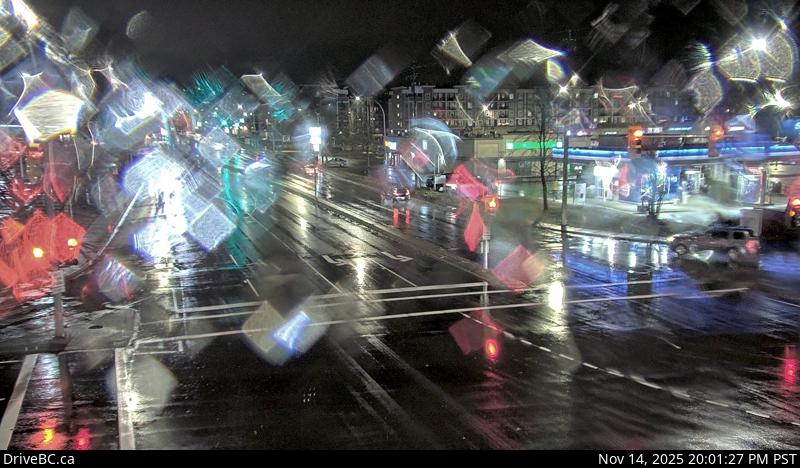
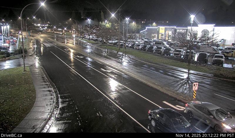
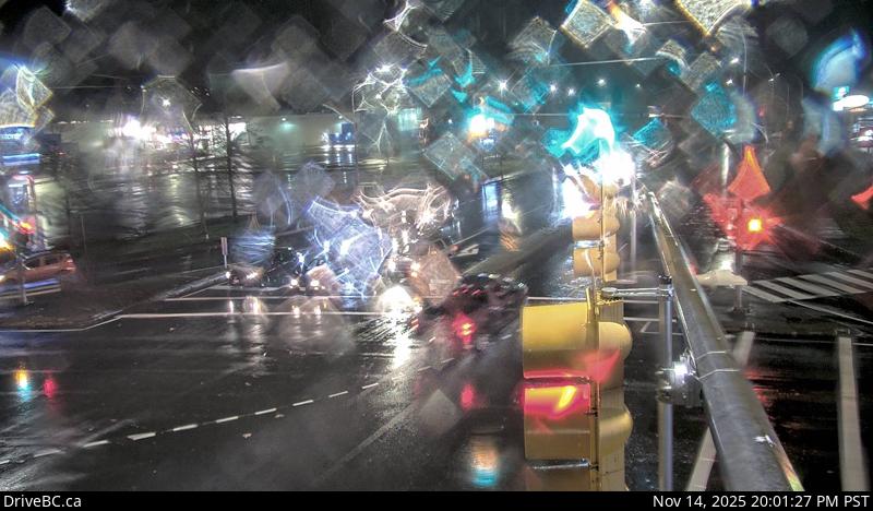
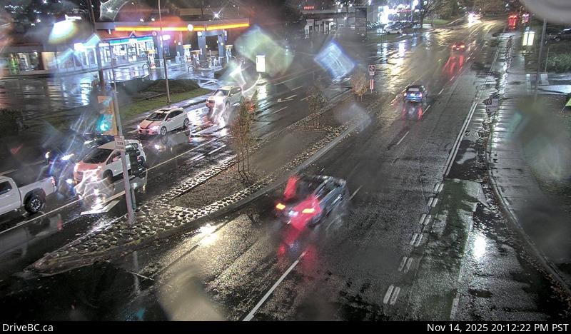
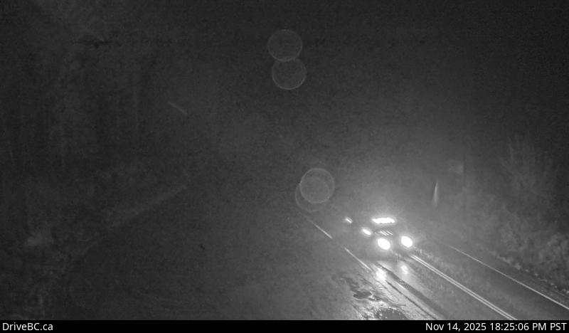
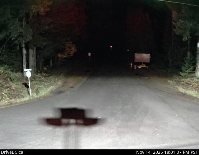
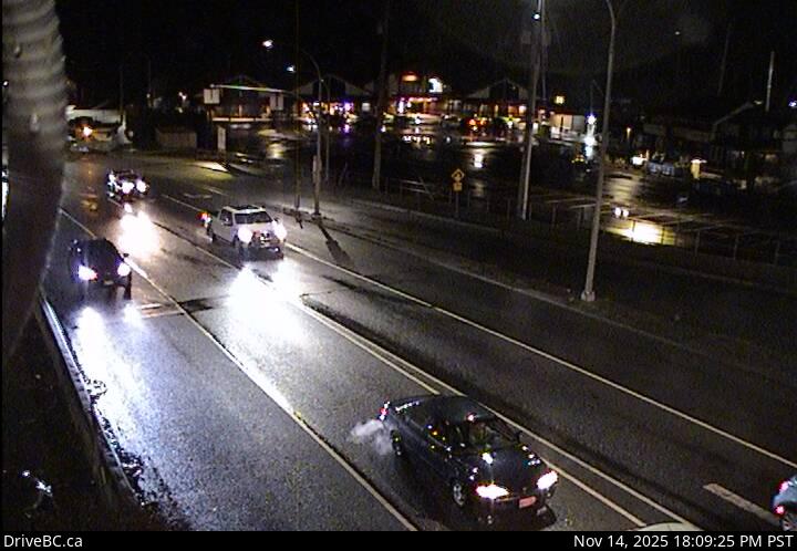
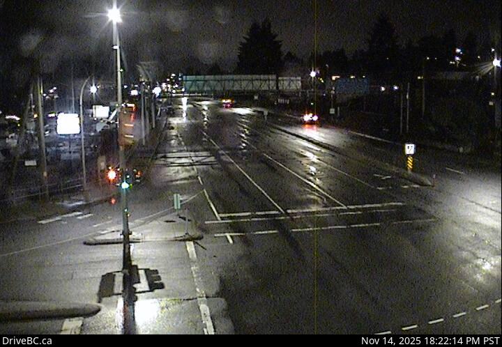
Every Victoria traffic camera, in road order — 182 DriveBC cameras across Vancouver Island.
Presented by — founding sponsor slot open for Victoria · Claim this wall
Highway 1 — Trans-Canada Highway
62 cameras · driving order
Live stills · this page refreshes every minute · DriveBC images update at the source every few minutes
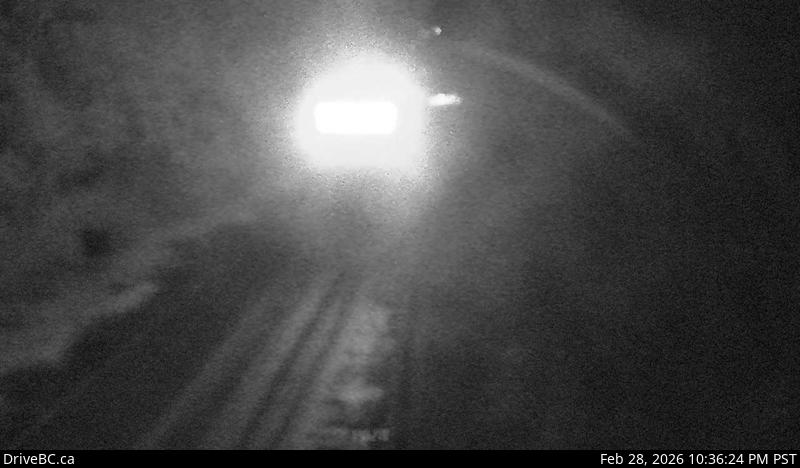
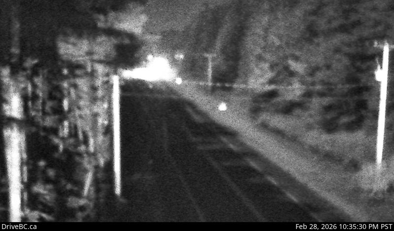
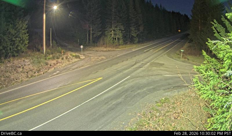
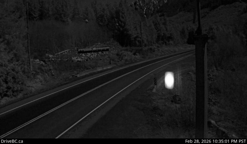
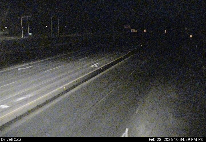
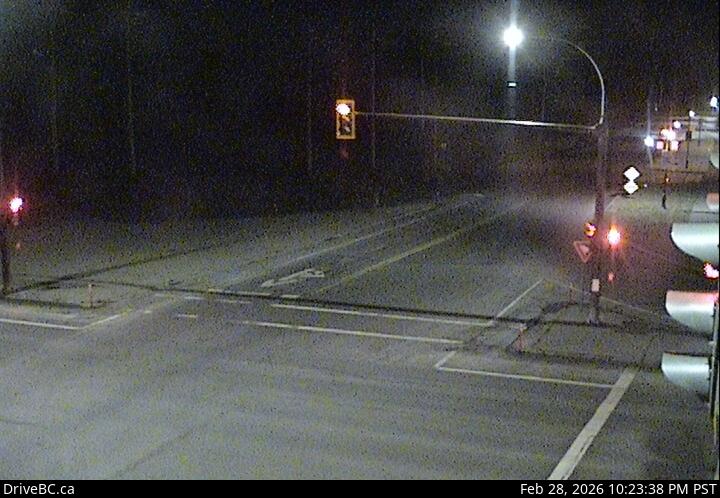
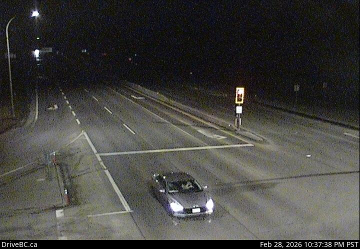
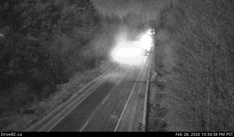
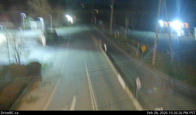
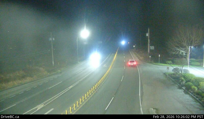
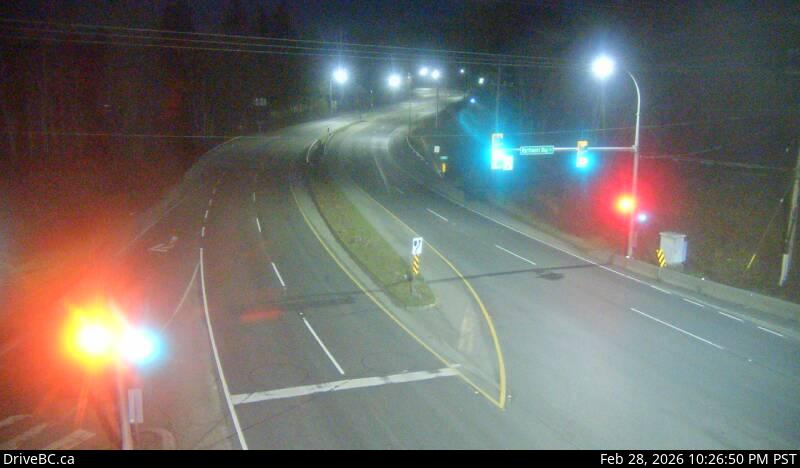
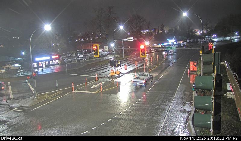
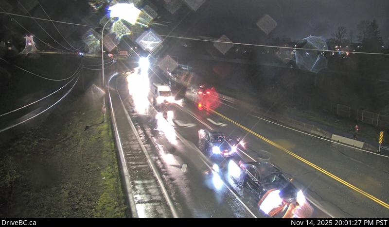
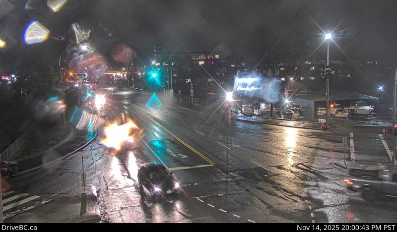
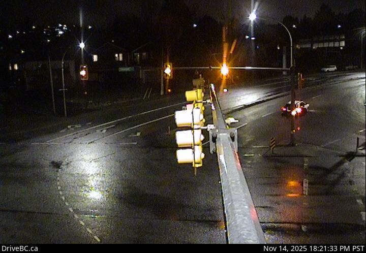
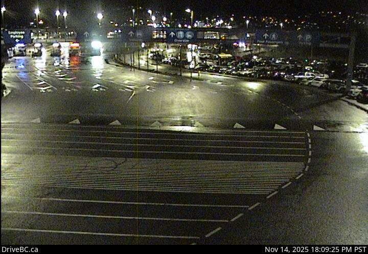
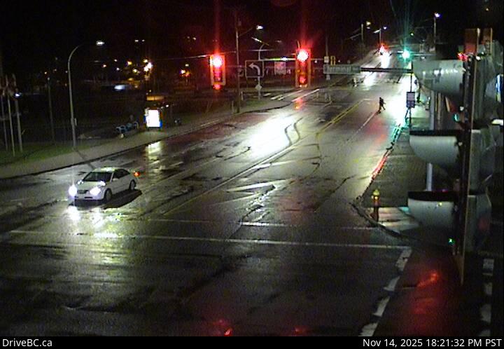
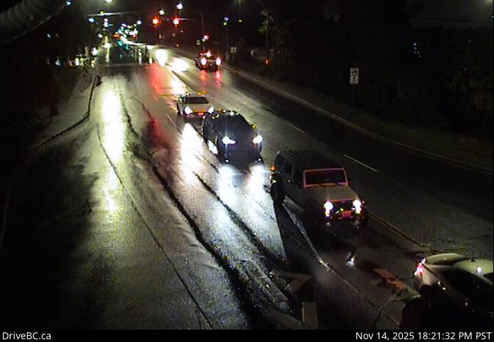
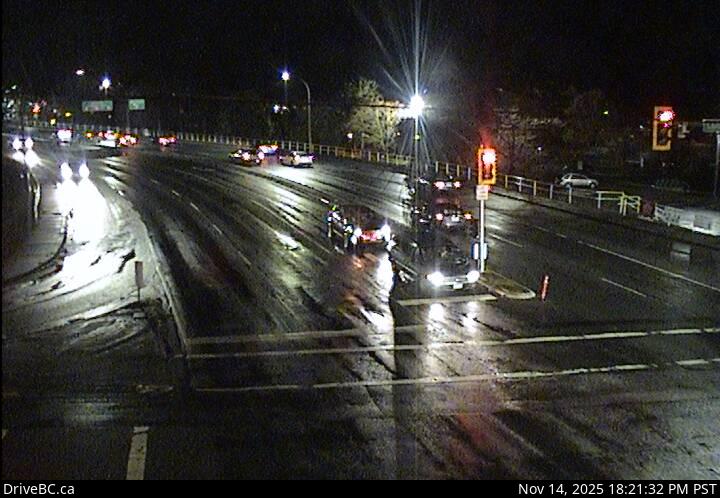
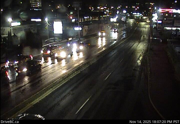
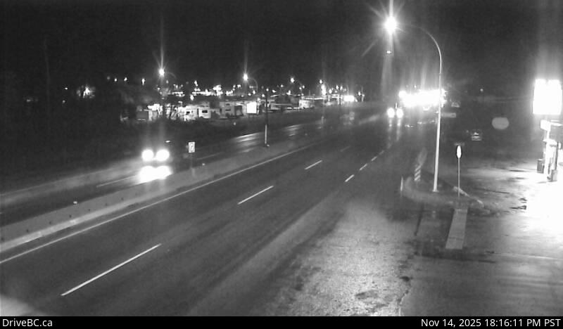
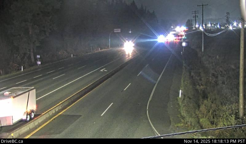
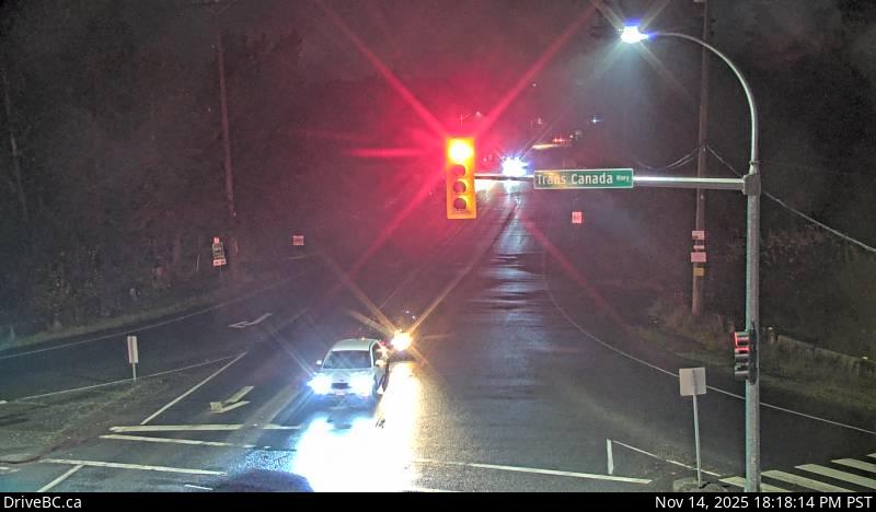
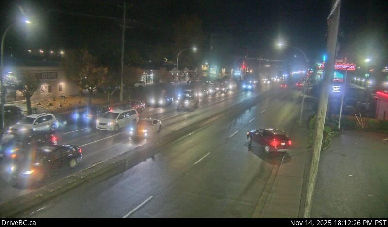
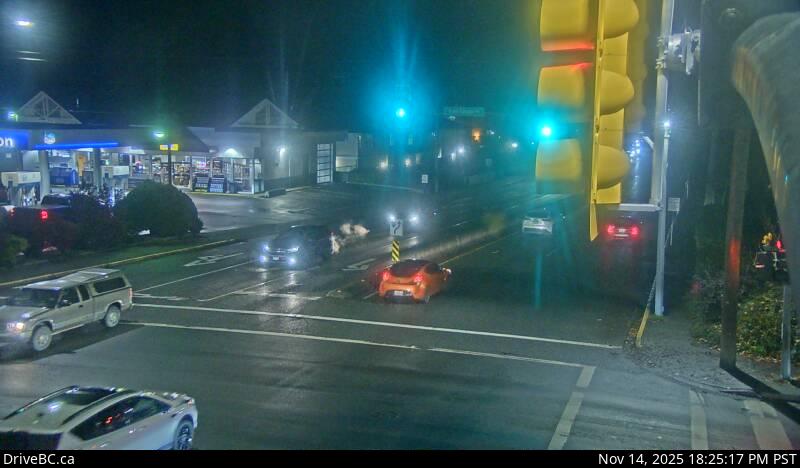
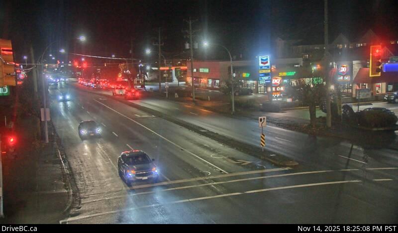
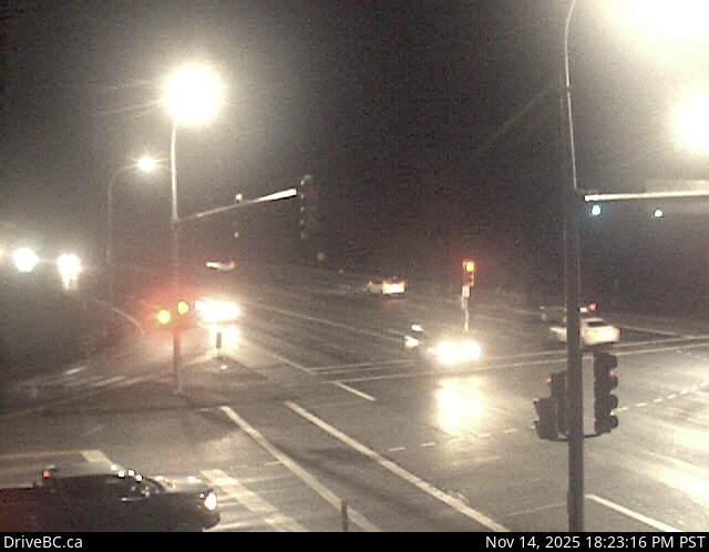
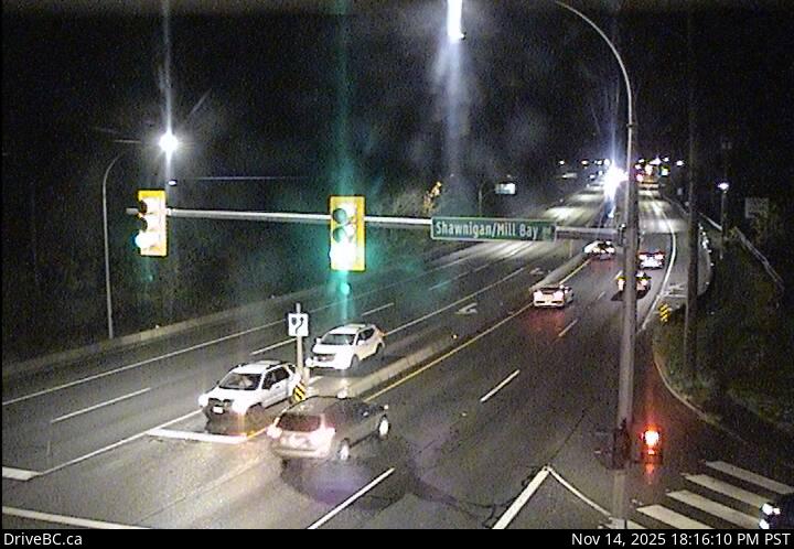
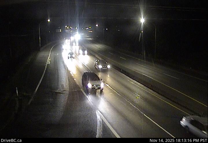
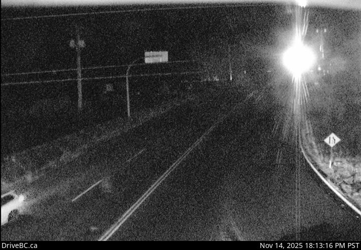
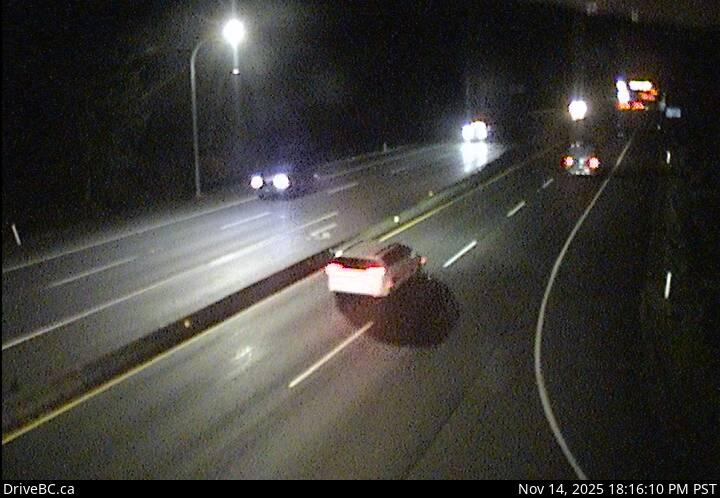
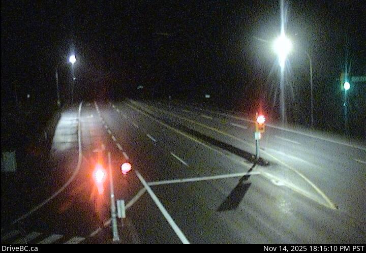
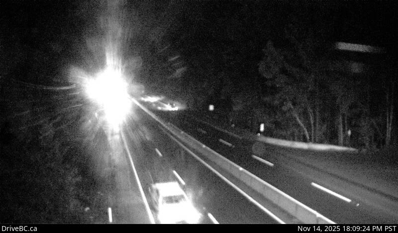
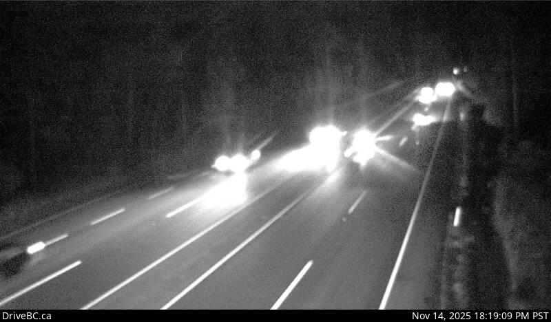
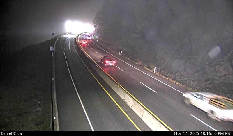
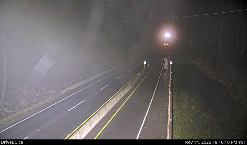
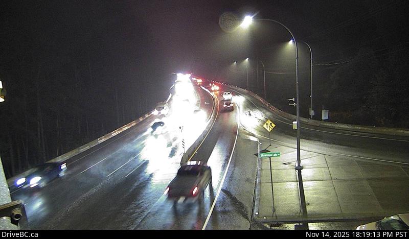
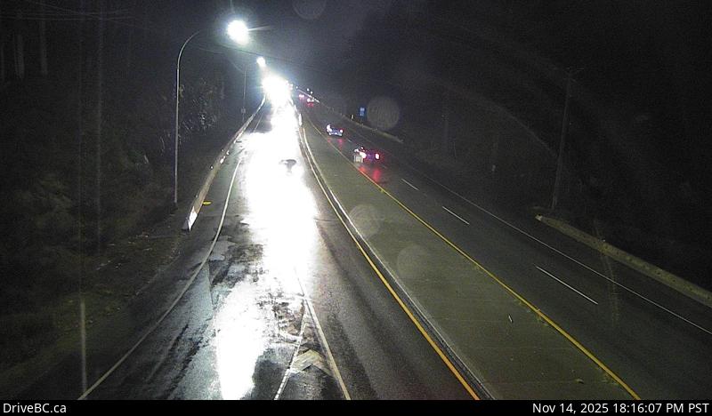
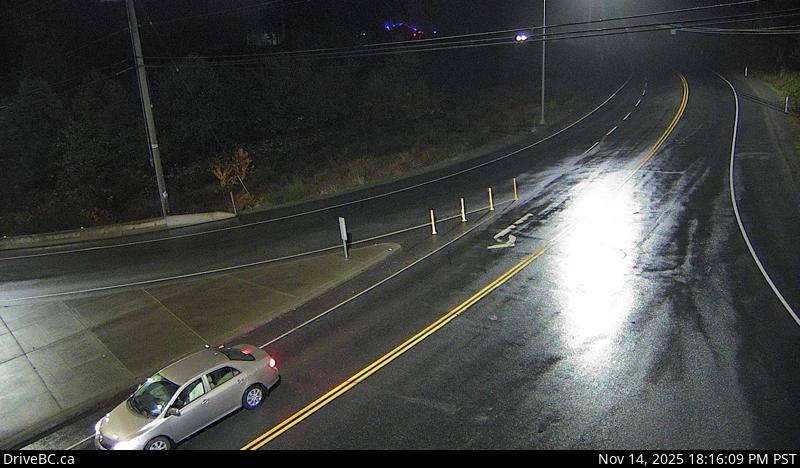
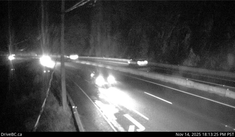
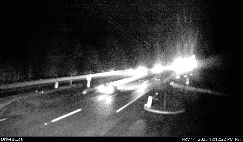
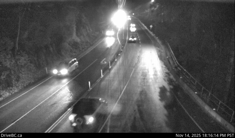
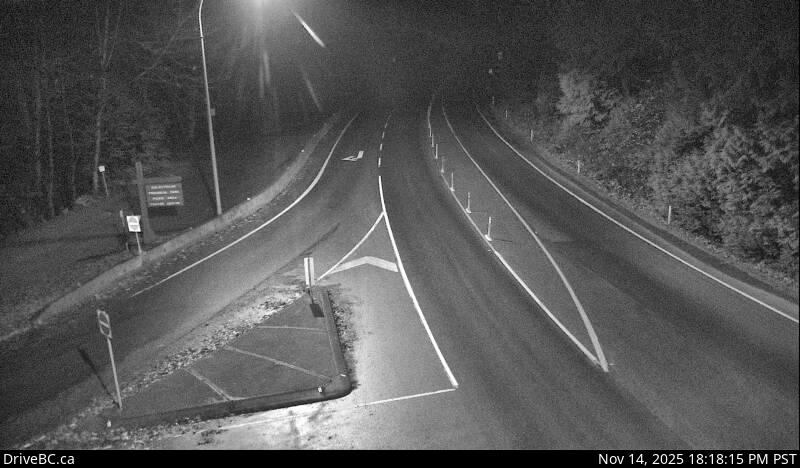
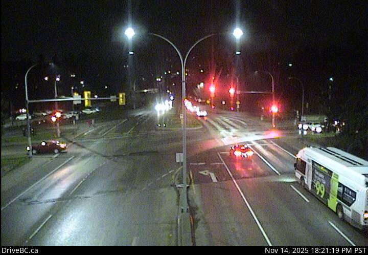
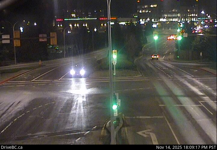
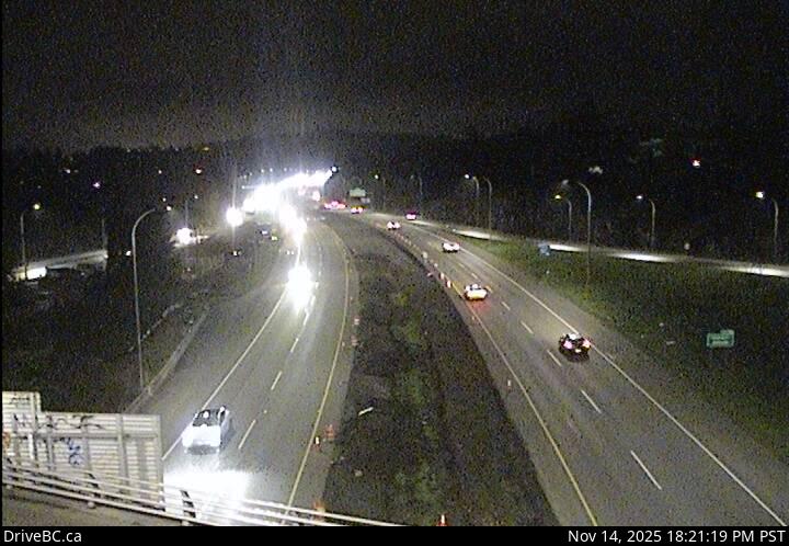
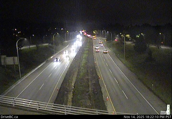
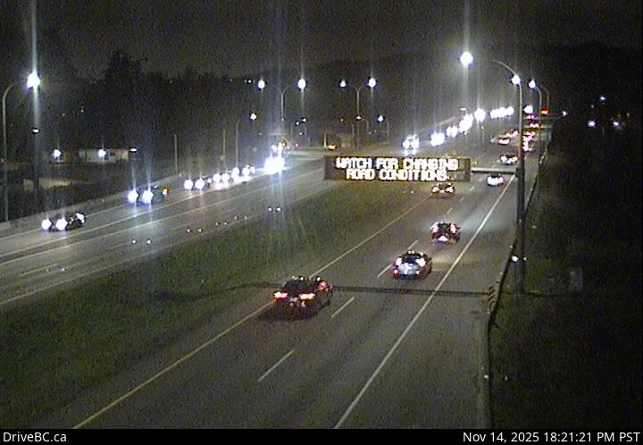
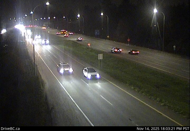
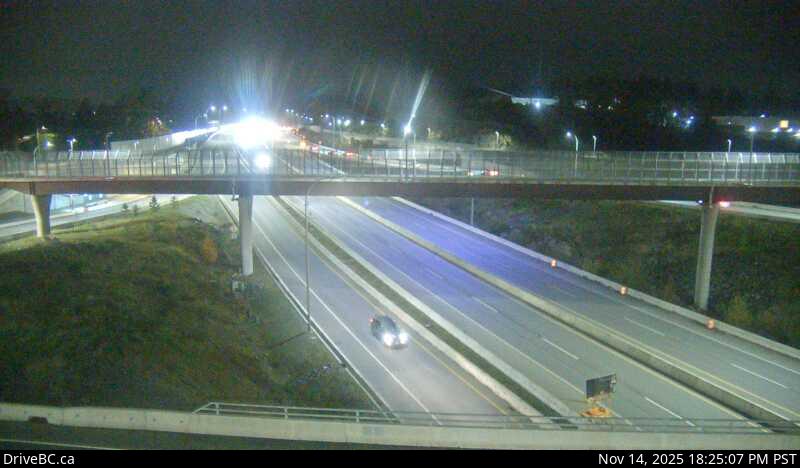
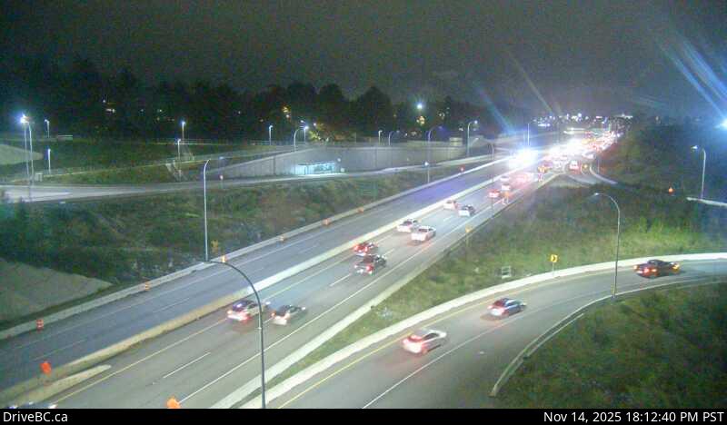
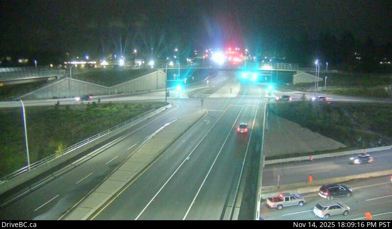
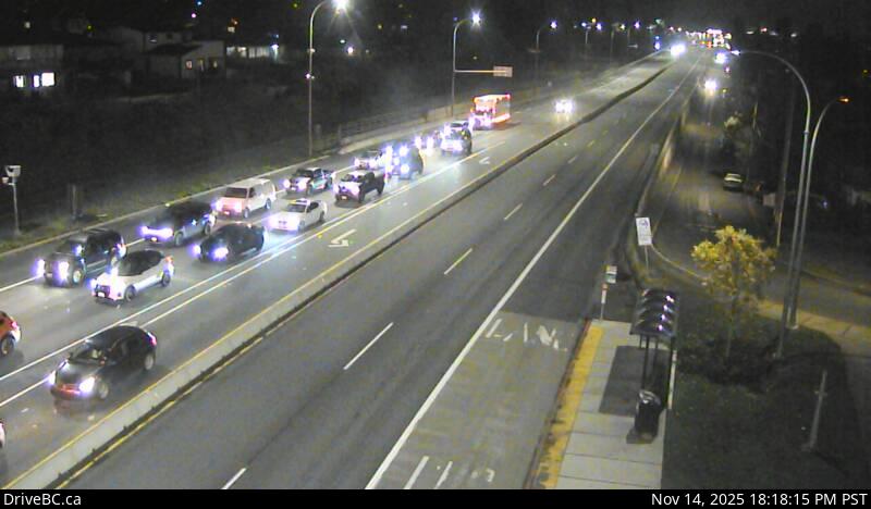
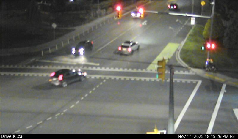
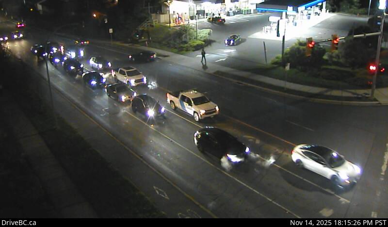
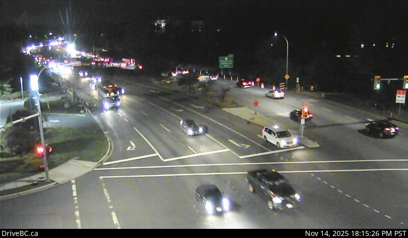
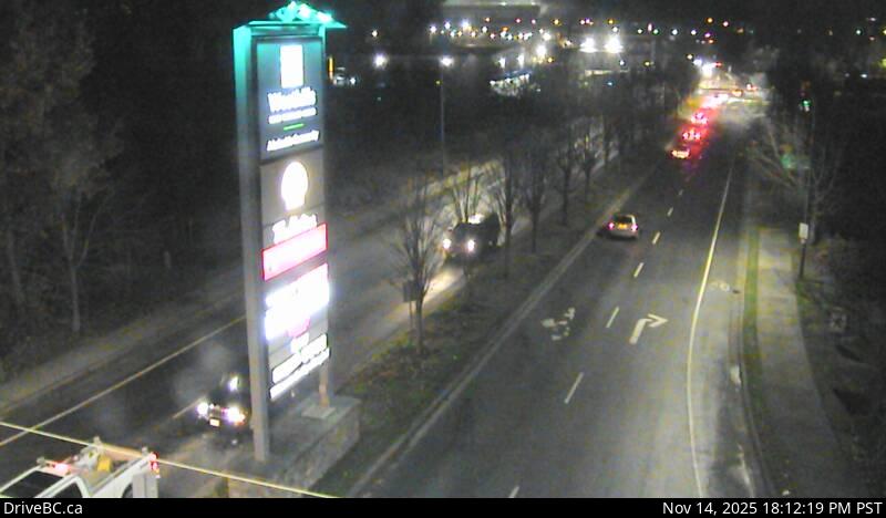
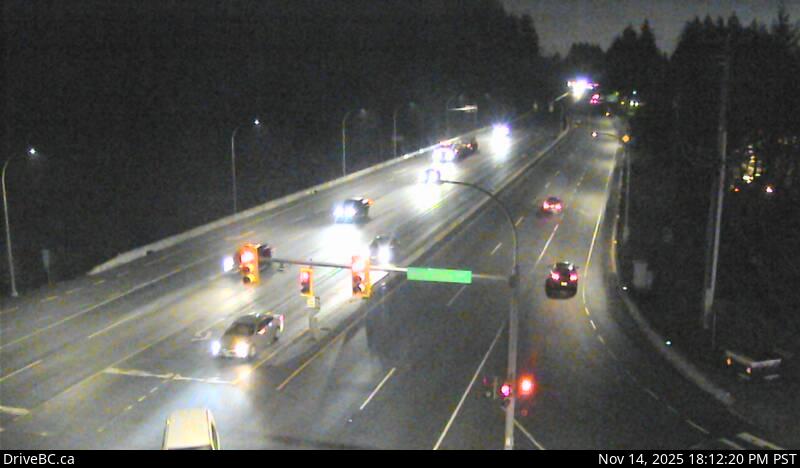
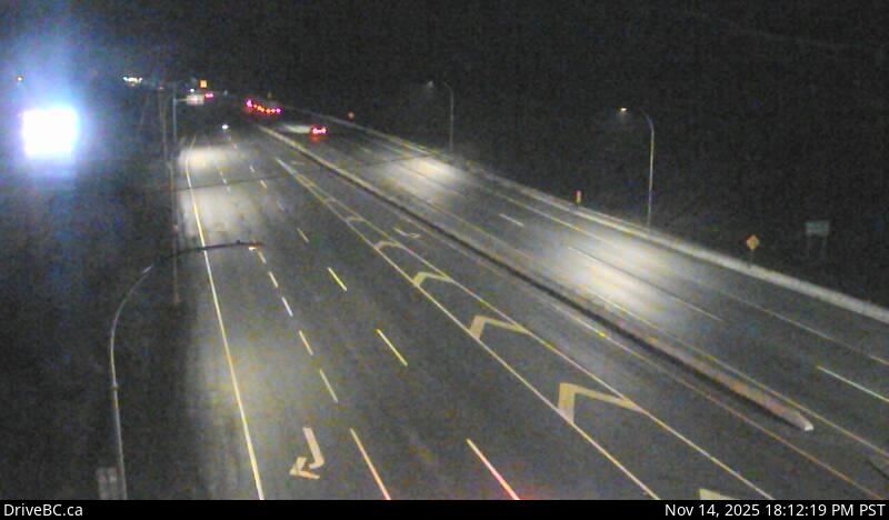
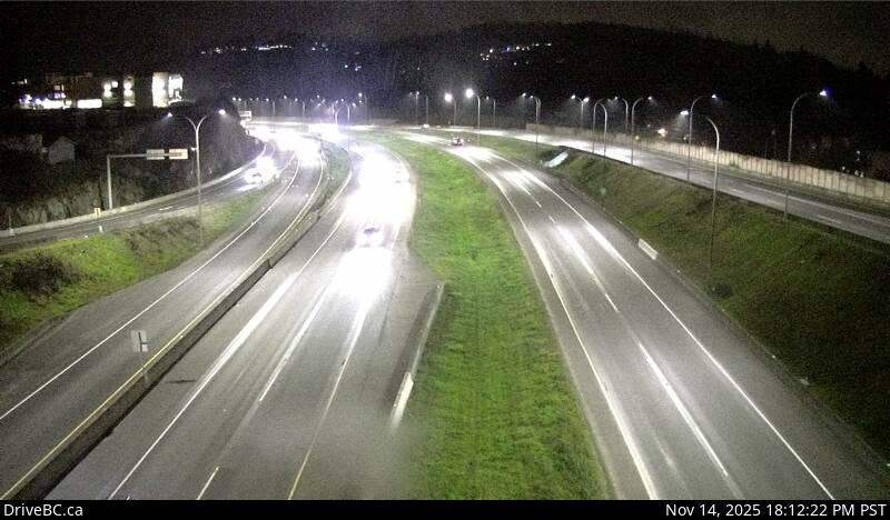
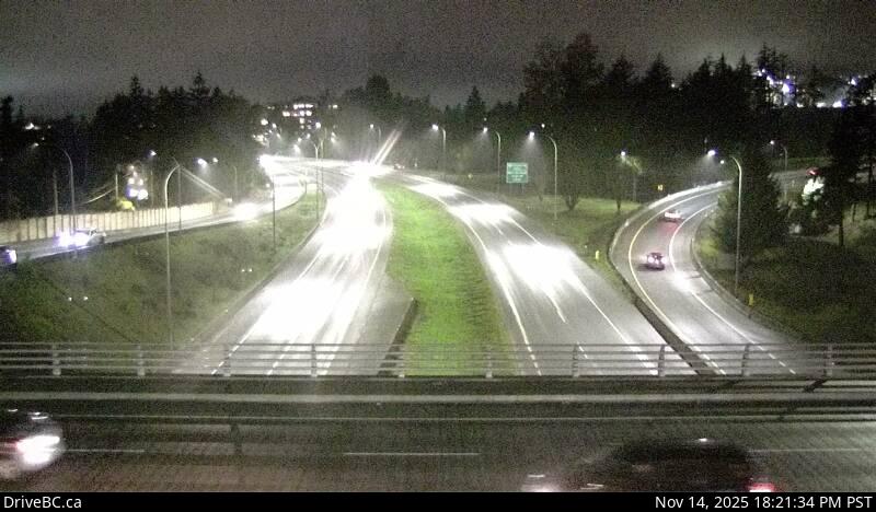
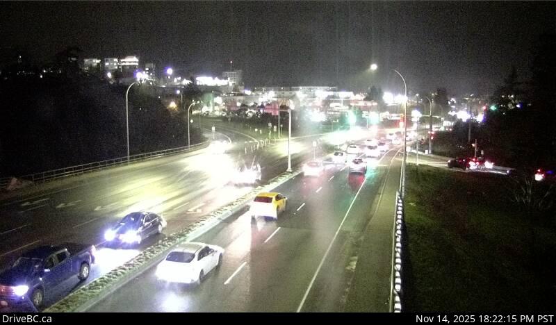
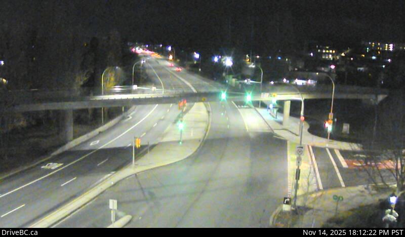
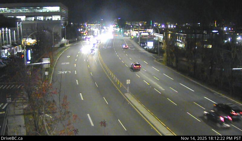
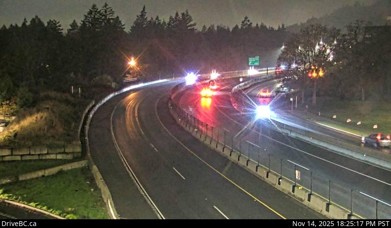
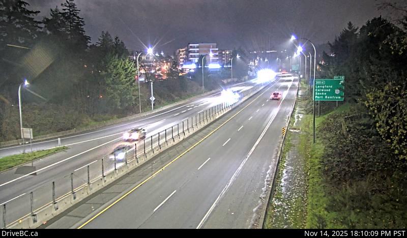
1Departure Bay - Zorkin Road — Highway 1 at Zorkin Road/Brechin Road, looking onto Zorkin Road.2Departure Bay southbound — Highway 1 at Zorkin Road/Brechin Road, looking to Stewart Avenue.3Departure Bay northbound — Highway 1 at Zorkin Road/Brechin Road, looking northbound to Brechin Road.4Departure Bay Ferry — Highway 1 at Zorkin Road/Brechin Road, looking at Departure Bay Ferry Terminal.5Comox Road - E — Highway 1, at Comox Road and Terminal Avenue in Nanaimo, looking east.6Comox Road - W — Highway 1, at Comox Road and Terminal Avenue in Nanaimo, looking west.7Comox Road - N — Highway 1, at Comox Road and Terminal Avenue in Nanaimo, looking north.8Comox Road - S — Highway 1, at Comox Road and Terminal Avenue in Nanaimo, looking south.9Nanaimo Airport - S — Highway 1 at Vowels Road next to Nanaimo Airport, looking south.10Nanaimo Airport - N — Highway 1 at Vowels Road next to Nanaimo Airport, looking north.11Ladysmith — Highway 1 at South Davis Road, south of Ladysmith, looking south.12Chemainus — Highway 1 at Henry Road near Chemainus, looking south.13Herd Road - E — Highway 1 about 5 km north of Duncan at Herd Road/Cowichan Valley Highway, looking east.14Herd Road - S — Highway 1 about 5 km north of Duncan at Herd Road/Cowichan Valley Highway, looking south.15Herd Road - N — Highway 1 about 5 km north of Duncan at Herd Road/Cowichan Valley Highway, looking north.16Herd Road - W — Highway 1 about 5 km north of Duncan at Herd Road/Cowichan Valley Highway, looking west.17Duncan - S — Highway 1 at Trunk Road in Duncan, looking south.18Duncan - E — Highway 1 at Trunk Road in Duncan, looking east.19Duncan - N — Highway 1 in Duncan at Trunk Road, looking north.20Cobble Hill Road — Highway 1 at Cowichan Bay Road/Cobble Hill Road, looking south.21Mill Bay - S — Highway 1 at Shawnigan Mill Bay Road, looking south.22Mill Bay - N — Highway 1 at Shawnigan Mill Bay Road, looking north.23Mill Bay - W — Highway 1 at Shawnigan Mill Bay Road, looking west.24Butterfield Road - S — Highway 1 at Butterfield Road, approximately 3 km south of Mill Bay, looking south.25Butterfield Road - N — Highway 1 at Butterfield Road, approximately 3 km south of Mill Bay, looking north.26Bamberton - N — Highway 1 south of Mill Bay Rd Overpass at the Bamberton Park Entrance, looking north.27Bamberton - S — Highway 1 south of Mill Bay Road Overpass at the Bamberton Park Entrance, looking south.28Malahat Summit - S — Highway 1, about 3.7 km south of Bamberton, looking southbound.29Malahat Summit - N — Highway 1, about 3.7 km south of Bamberton, looking northbound.30Malahat Drive - S — Highway 1 at South Shawnigan Lake Road, looking south.31Malahat Drive - N — Highway 1 at South Shawnigan Lake Road, looking north.32South Shawnigan Lake Road - W — Highway 1 at South Shawnigan Lake Road, looking west.33Okotoks - S — Highway 1 at Okotoks Road, looking south.34Okotoks - N — Highway 1 at Okotoks Road, looking north.35Tunnel Hill - S — Highway 1 at Tunnel Hill on the Malahat, looking south.36Tunnel Hill - N — Highway 1 at Tunnel Hill on the Malahat, looking north.37Goldstream - N — Highway 1 about 1.7 km north of Finlayson Arm Road entrance to Goldstream Park, looking north.38Goldstream - S — Highway 1 about 1.7 km north of Finlayson Arm Road entrance to Goldstream Park, looking south.39Helmcken - S — Highway 1 at Helmcken overpass, looking south.40Helmcken - N — Highway 1 at Helmcken Overpass, looking north41Helmcken - W — Highway 1 at Helmcken Overpass, looking west.42Helmcken - E — Highway 1 at Helmcken overpass, looking east.43Colwood - W — Highway 1 northbound, near the View Royal / Colwood exit, looking west.44Colwood - E — Highway 1 southbound, near the View Royal / Colwood exit, looking east.45Admirals-McKenzie - W — Highway 1, at Admirals Road / McKenzie Avenue, looking west.46Admirals-McKenzie - E — Highway 1, at Admirals Road / McKenzie Avenue, looking east.47Admirals-McKenzie - N — Highway 1, at Admirals Road / McKenzie Avenue, looking north.48Admirals-McKenzie - S — Highway 1, at Admirals Road / McKenzie Avenue, looking south.49Tillicum - E — Highway 1 at Tillicum Road, looking east.50Tillicum - N — Highway 1 at Tillicum Road, looking north.51Tillicum - S — Highway 1 at Tillicum Road, looking south.52Tillicum - W — Highway 1 at Tillicum Road, looking west.53West Shore Parkway — Highway 1 at West Shore Parkway, looking west along West Shore Parkway.54Hwy 1 at West Shore Parkway southbound — Highway 1 at West Shore Parkway, looking southbound towards Victoria.55Hwy 1 at West Shore Parkway northbound — Highway 1 at West Shore Parkway, looking northbound toward Goldstream Park.56Millstream Road - E — Highway 1 at Millstream Road, looking east.57Millstream Road - W — Highway 1 at Millstream Road, looking west.58Millstream Road - N — Highway 1 at the Millstream Road, looking north.59Carey Road - NW — Highway 1 at Carey Road, looking northwest.60Carey Road - SE — Highway 1 at Carey Road, looking southeast.61Spencer Road - W — Highway 1 at Spencer Road, northbound looking west.62Spencer Road - E — Hwy 1 at Spencer Road, southbound looking east.
Highway 4
12 cameras · driving order
Live stills · this page refreshes every minute · DriveBC images update at the source every few minutes
1Ucluelet-Tofino Highway - E — Highway 4 at Ucluelet-Tofino Highway junction, looking east to Highway 4.2Ucluelet-Tofino Highway - N — Highway 4 at Ucluelet-Tofino Highway junction, looking north.3Ucluelet-Tofino Highway - S — Highway 4 at Ucluelet-Tofino Highway junction, looking south towards Ucluelet.4Kennedy Lake — Highway 4 by Kennedy Lake, looking west.5Taylor River - W — Highway 4 about 37 km west of Port Alberni at turn off for Taylor River Rest Area, looking west.6Taylor River - E — Highway 4 about 37 km west of Port Alberni at turn off for Taylor River Rest Area, looking east.7Tsuma-as Drive - E — Highway 4 at Tsuma-as Drive near the Riverbend Bridge, looking east.8Tsuma-as Drive - W — Highway 4 at Tsuma-as Drive near the Riverbend Bridge, looking west.9Port Alberni Summit — Highway 4 about 9 km east of Port Alberni, looking west.10Highway 4 at Alberni Highway - N — Highway 4 at Alberni Highway (Highway 4A) junction, about 2 km west of Coombs, looking north.11Highway 4 at Alberni Highway - E — Highway 4 at Alberni Highway (Highway 4A) junction, about 2 km west of Coombs, looking east.12Highway 4 at Alberni Highway - W — Highway 4 at Alberni Highway (Highway 4A) junction, about 2 km west of Coombs, looking west.
Highway 14 — Sooke Road
19 cameras · driving order
Live stills · this page refreshes every minute · DriveBC images update at the source every few minutes
1Hwy 14 at Trailhead Drive — Highway 14 near Cormorant Way / Trailhead Drive, looking west.2Sooke - E — Highway 14 at Lazzar Road near Sooke, looking east.3Sooke - W — Highway 14 at Lazzar Road near Sooke, looking west.4Glinz Lake Road - W — Highway 14 at Glinz Lake Road, looking west.5Glinz Lake Road - N — Highway 14 at Glinz Lake Road, looking north.6Glinz Lake Road - E — Highway 14 at Glinz Lake Road, looking east.7Gillespie Road - W — Highway 14 at Gillespie Road, looking west.8Gillespie Road - E — Highway 14 at Gillespie Road, looking east.9Hwy 14 at Kangaroo Road - S — Highway 14 at Kangaroo Road, looking south10Hwy 14 at Kangaroo Road - W — Highway 14 at Kangaroo Road, looking west.11Hwy 14 at Kangaroo Road - E — Highway 14 at Kangaroo Road, looking east.12Suyer Road — Highway 14, between Langford and Sooke near Suyer Road, looking west.13Hwy 14 at West Shore Parkway - W — Hwy 14 at West Shore Parkway, looking west.14Hwy 14 at West Shore Parkway - N — Highway 14 at West Shore Parkway, looking north to West Shore Parkway.15Hwy 14 at West Shore Parkway - E — Highway 14 at West Shore Parkway, looking east.16Veteran's Memorial Parkway - N — Highway 14 (Veteran's Memorial Parkway) at Goldstream Avenue in Langford, looking north.17Veteran's Memorial Parkway - E — Highway 14 (Veteran's Memorial Parkway) at Goldstream Avenue in Langford, looking east.18Veteran's Memorial Parkway - W — Highway 14 (Veteran's Memorial Parkway) at Goldstream Avenue in Langford, looking west.19Veteran's Memorial Parkway - S — Highway 14 (Veteran's Memorial Parkway) at Goldstream Avenue in Langford, looking south.
Highway 17 — Patricia Bay Highway
27 cameras · driving order
Live stills · this page refreshes every minute · DriveBC images update at the source every few minutes
1McTavish Road - S — Highway 17 at McTavish Road, looking south.2McTavish Road - N — Highway 17 at McTavish Road, looking north.3Mt Newton Cross Road - N — Highway 17 at Mount Newton Cross Road, looking north.4Mt Newton Cross Road - W — Highway 17 at Mount Newton Cross Road, looking west.5Mt Newton Cross Road - E — Highway 17 at Mount Newton Cross Road, looking east.6Mt Newton Cross Road - S — Highway 17 at Mount Newton Cross Road, looking south.7Sayward Road - N — Highway 17 (Patricia Bay Highway) at Sayward Road in Saanich, looking north.8Sayward Road - S — Patricia Bay Highway (Hwy 17) at Sayward Road in Saanich, looking south.9Sayward Road - E — Highway 17 (Patricia Bay Highway) at Sayward Road in Saanich, looking east.10Royal Oak - S — Highway 17 at Royal Oak Drive, looking south.11Royal Oak - W — Highway 17 at Royal Oak Drive, looking west.12Royal Oak - N — Highway 17 at Royal Oak Drive, looking north.13Royal Oak - E — Highway 17 at Royal Oak Drive, looking east.14Ravine Way - N — Highway 17 (Patricia Bay Highway) at Ravine Way, looking north.15Ravine Way - S — Highway 17 (Patricia Bay Highway) at Ravine Way, looking south.16Ravine Way - W — Highway 17 (Patricia Bay Highway) at Ravine Way, looking west.17Ravine Way - E — Highway 17 (Patricia Bay Highway) at Ravine Way, looking east.18Hwy 17 at Saanich Road 2 - E — Highway 17 northbound at Saanich Road, looking east.19Hwy 17 at Saanich Road 2 - N — Highway 17 northbound at Saanich Road, looking north.20Hwy 17 at Saanich Road 2 - W — Highway 17 northbound at Saanich Road, looking west.21Hwy 17 at Saanich Road 2 - S — Highway 17 northbound at Saanich Road, looking south.22Hwy 17 at Saanich Road 1 - N — Highway 17 (Blanshard Street) southbound at Saanich Road, looking north.23Hwy 17 at Saanich Road 1 - E — Highway 17 (Blanshard Street) southbound at Saanich Road, looking east.24Hwy 17 at Saanich Road 1 - S — Highway 17 (Blanshard Street) southbound at Saanich Road, looking south.25Hwy 17 at Saanich Road 1 - W — Highway 17 (Blanshard Street) at Saanich Road, looking west.26Hwy 17 at Cloverdale Avenue - N — Highway 17 at Cloverdale Avenue in Victoria, looking north.27Hwy 17 at Cloverdale Avenue - S — Highway 17 at Cloverdale Avenue in Victoria, looking south.
Highway 18
2 cameras · driving order
Live stills · this page refreshes every minute · DriveBC images update at the source every few minutes
1Skutz Falls — Highway 18 at Skutz Falls Road, looking west.2Cowichan — Highway 18 at mid-point between Highway 1 turn-off and Cowichan Lake exit, looking west.
Highway 19 — Island Highway
46 cameras · driving order
Live stills · this page refreshes every minute · DriveBC images update at the source every few minutes
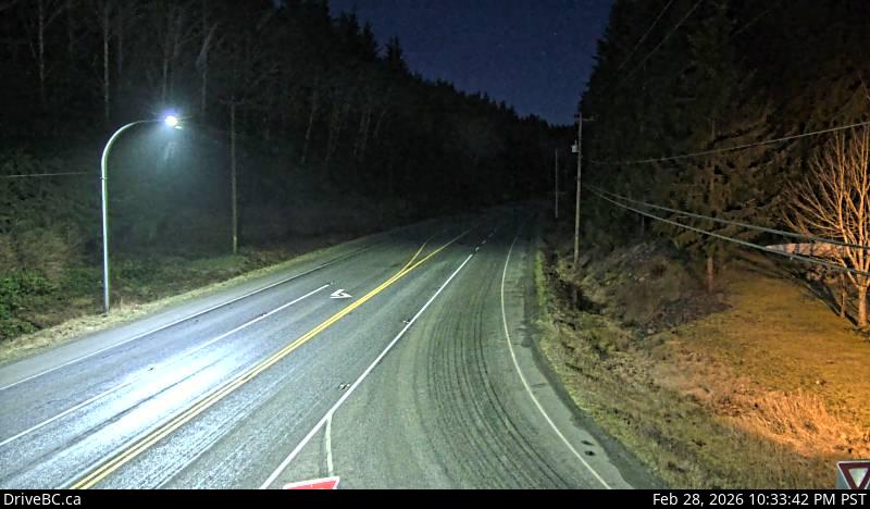
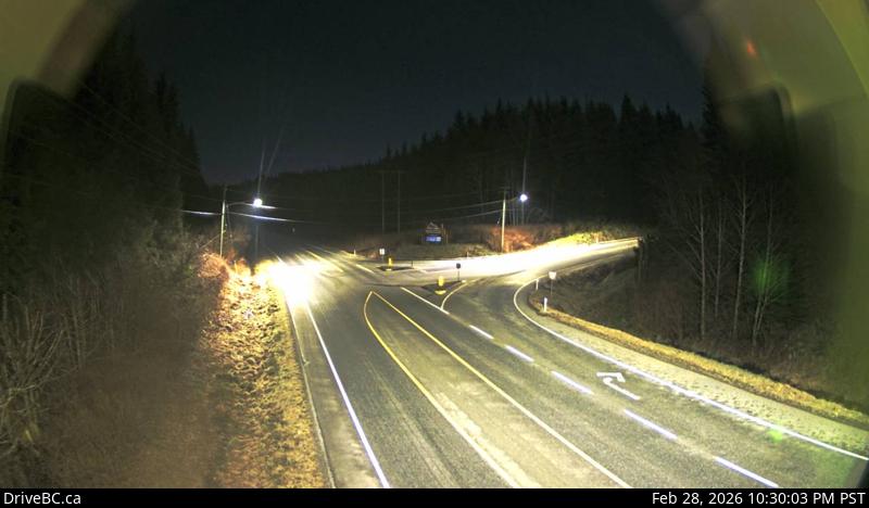
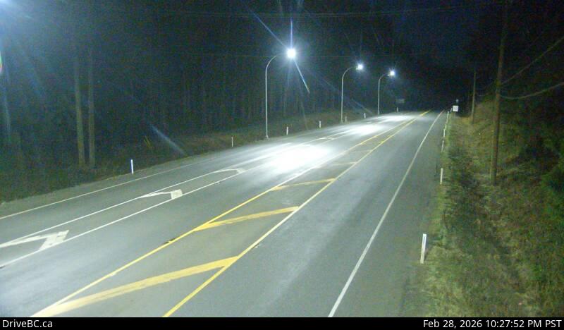
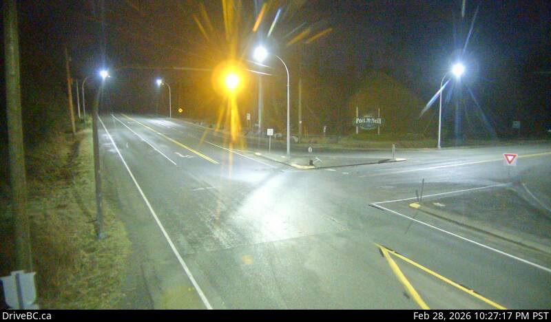
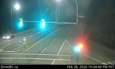
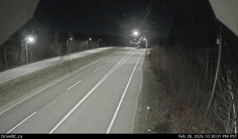
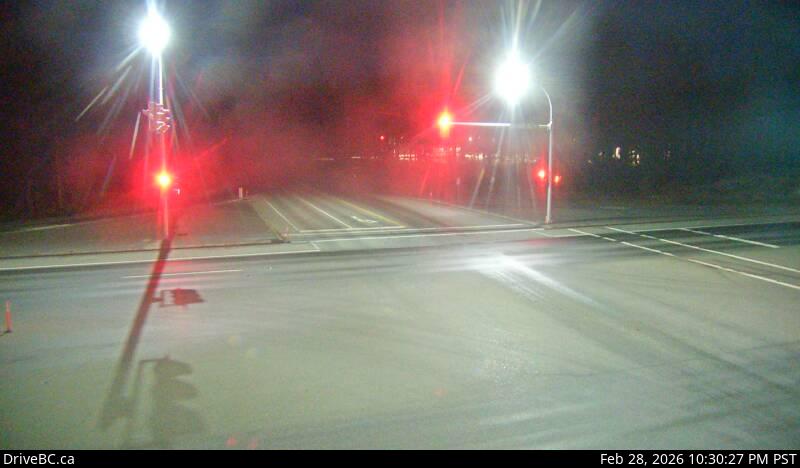
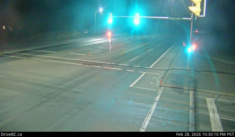
1Port Hardy - N — Highway 19 at Douglas Street, looking north along Highway 19 (Bear Cove Highway).2Port Hardy - E — Highway 19 at Douglas Street, looking east along Highway 19.3Port Hardy - W — Highway 19 at Douglas Street, looking west along Douglas Street.4Hwy 19 at Port Alice Road — Highway 19 at Highway 30 (Port Alice Road) between Port Hardy and Port McNeill, looking south.5Port McNeill - E — Highway 19 at Campbell Way in Port McNeill, looking east.6Port McNeill - W — Highway 19 at Campbell Way in Port McNeill, looking west.7Hyde Creek Road - E — Highway 19 about 4.5 km south of Port McNeill near Hyde Creek Road, looking east.8Hyde Creek Road - W — Highway 19 about 4.5 km south of Port McNeill near Hyde Creek Road, looking west.9Woss — Highway 19 about 75 km southeast of Port McNeill and 128 km north of Campbell River, looking east.10Tsitika — Highway 19 about 101 km north of Campbell River and about 27 km south of Woss near Tsitika, looking southeast.11Roberts Lake — Highway 19 about 31 km north of Campbell River, looking north.12Menzies Hill - N — Highway 19 about 7 km southeast of Roberts Lake and 24 km north of Campbell River at Menzies Hill, looking north.13Menzies Hill - S — Highway 19 about 7 km southeast of Roberts Lake and 24 km north of Campbell River at Menzies Hill, looking south.14Campbell River - E — Highway 19 about 2.5 km south of Campbell River at Willis Road, looking east.15Campbell River - N — Highway 19 about 2.5 km south of Campbell River at Willis Road, looking north.16Campbell River - W — Highway 19 about 2.5 km south of Campbell River at Willis Road, looking west.17Campbell River - S — Highway 19 about 2.5 km south of Campbell River at Willis Road, looking south.18Duncan Bay - N — Highway 19 north of Campbell River between Orange Point Road and Duncan Bay Road, looking north.19Duncan Bay - S — Highway 19 north of Campbell River between Orange Point Road and Duncan Bay Road, looking south.20Black Creek — Highway 19 about 25 km north of Courtenay at Hamm Road, looking north.21Piercy Road - S — Highway 19 at Piercy Road, looking south.22Piercy Road - N — Hwy 19 at Piercy Road, looking north.23Buckley Bay Road — Highway 19 near the Buckley Bay Road Interchange, looking north.24Cook Creek Road — Highway 19 about 29 km north of Parksville at Cook Creek Road, looking north.25Horne Lake Road - W — Highway 19 at Horne Lake Road, looking west.26Horne Lake Road - N — Highway 19 at Horne Lake Road, looking north.27Horne Lake Road - S — Highway 19 at Horne Lake Road, looking south.28Horne Lake Road - E — Highway 19 at Horne Lake Road, looking east.29Qualicum Interchange - E — Highway 19 south of Qualicum Interchange at Highway 4, looking east.30Qualicum Interchange - W — Highway 19 south of Qualicum Interchange at Highway 4, looking west.31Nanoose Bay - E — Highway 19 at Northwest Bay Road near Nanoose Bay, looking east.32Nanoose Bay - N — Highway 19 at Northwest Bay Road near Nanoose Bay, looking north.33Nanoose Bay - S — Highway 19 at Northwest Bay Road near Nanoose Bay, looking south.34Nanoose Rest Area - N — Highway 19 at the Nanoose Rest Area, looking north.35Nanoose Rest Area - S — Highway 19 at the Nanoose Rest Area, looking south.36Lantzville - N — Highway 19 near McKercher Road in Lantzville, looking northbound.37Lantzville - S — Highway 19 near McKercher Road in Lantzville, looking southbound.38Aulds Road - N — Highway 19 at Aulds Road in Nanaimo, looking north.39Aulds Road - E — Highway 19, at Aulds Road in Nanaimo, looking east.40Aulds Road - S — Highway 19 at Aulds Road in Nanaimo, looking south.41Aulds Road - W — Highway 19 at Aulds Road in Nanaimo, looking west.42Northfield Road - S — Highway 19 at Northfield Road in Nanaimo, looking south.43Northfield Road - E — Highway 19 at Northfield Road in Nanaimo, looking east44Northfield Road - N — Highway 19 at Northfield Road in Nanaimo, looking north.45Northfield Road - W — Highway 19 at Northfield Road in Nanaimo, looking west.46Nanaimo Parkway — Highway 19 at College Drive, looking north.
Highway 19A
11 cameras · driving order
Live stills · this page refreshes every minute · DriveBC images update at the source every few minutes
1Ryan Road - N — Intersection of Ryan Road and Lerwick Road in Courtenay, looking north.2Ryan Road - W — Intersection of Ryan Road and Lerwick Road in Courtenay, looking west.3Ryan Road - E — Intersection of Ryan Road and Lerwick Road in Courtenay, looking east.4Ryan Road - S — Intersection of Ryan Road and Lerwick Road in Courtenay, looking south.5Hwy 19A at Ryan Road - E — Highway 19A at Ryan Road in Courtenay, looking eastbound.6Hwy 19A at Ryan Road - N — Highway 19A at Ryan Road in Courtenay, looking northbound.7Hwy 19A at Ryan Road - S — Highway 19A at Ryan Road in Courtenay, looking southbound.8Hwy 19A at Ryan Road - W — Highway 19A at Ryan Road in Courtenay, looking westbound.9Hwy 19A at 17 Street Bridge - N — Highway 19A at 17 Street Bridge in Courtenay, looking northbound.10Hwy 19A at 17 Street Bridge - S — Highway 19A at 17 Street Bridge in Courtenay, looking southbound on Comox Road.11Hwy 19A at 17 Street Bridge - W — Highway 19A at 17 Street Bridge in Courtenay, looking west.
Highway 28
2 cameras · driving order
Live stills · this page refreshes every minute · DriveBC images update at the source every few minutes
1Crest Lake — Hwy 28 Gold River Highway at Crest Lake, about 14 km east of Gold River, looking east.2Gold River Highway — Highway 28 (Gold River Highway) about 24 km west of Campbell River, looking west.
Highway Cowichan Lake
1 cameras · driving order
Live stills · this page refreshes every minute · DriveBC images update at the source every few minutes
1South Cowichan Lake — South Shore Road at Pacific Marine Road, looking south.
 1
 2
 3
 4
 5
 6
 7
 8
 9
 10
 11
 12
 13
 14
 15
 16
 17
 18
 19
 20
 21
 22
 23
 24
 25
 26
 27
 28
 29
 30
 31
 32
 33
 34
 35
 36
 37
 38
 39
 40
 41
 42
 43
 44
 45
 46
 47
 48
 49
 50
 51
 52
 53
 54
 55
 56
 57
 58
 59
 60
 61
 62